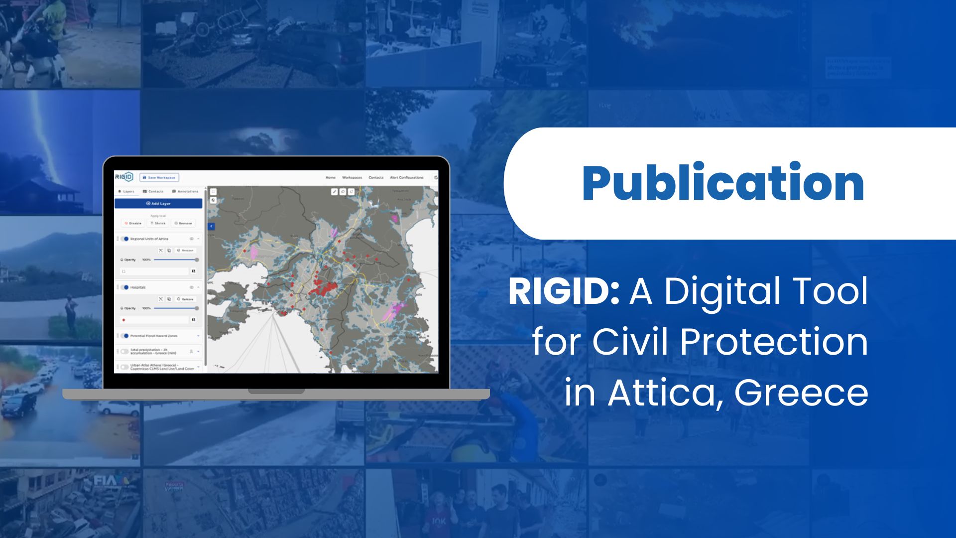
New research presents RIGID, the Rapid Intelligent Geospatial Integrated Disaster Management platform, a web-based tool designed to help civil protection authorities work with a common operational picture during multi-hazard situations. The study was conducted by Dimitris Tassopoulos, Artemis Lavasa, Ioakeim Konstantinidis, Petros Kafkias, Petros Gasteratos, Stavros Tekes and Anastasios Karakostas from DRAXIS Environmental S.A., within the framework of the GOBEYOND project.
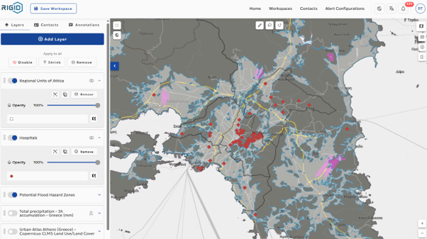
During emergencies, authorities often need to consult many different systems to access forecasts, hazard maps, infrastructure information, shelters, administrative boundaries or traffic restrictions. This fragmentation can make it harder to understand what is happening, who is responsible for each area, and how decisions should be coordinated. RIGID addresses this challenge by bringing multi-hazard forecast indicators and regional and municipality-level operational data into one shared geospatial environment.
The platform has been implemented in the Region of Attica, Greece, as a local and regional decision-support tool for civil protection. Its data catalogue currently includes 291 layers, covering hazard and risk information, operational datasets, infrastructure, administrative boundaries and forecast layers. Users can combine relevant information in map-based workspaces, save these views, update them as a situation evolves, and share them with other stakeholders.
The study also presents preliminary findings from a workshop with civil protection stakeholders. Participants highlighted that the platform can help reduce data fragmentation, support shared situational awareness, and facilitate coordinated interpretation across different governance levels.
Through RIGID, GOBEYOND supports more effective disaster risk management by promoting the use of integrated digital tools for preparedness, coordination and informed decision-making.