A newly published study in the International Journal of Disaster Risk Reduction evaluates our current capacity to anticipate weather-related emergencies. The research was carried out by Jordi Morales (HYDS and UOC), Xavier Llort (HYDS), Andreas Kaltenbrunner (UPF), and Agata Lapedriza (Northeastern University and UOC).
Standard weather warnings are widely used to alert the public and emergency responders to incoming hazards. However, these hazard-based alerts typically ignore crucial local vulnerabilities, such as population distribution and flood susceptibility. The GOBEYOND project aims to overcome this limitation by driving the transition toward sophisticated, impact-based early warning systems. This new study aligns directly with GOBEYOND’s mission by establishing a necessary baseline: quantifying how current operational systems relate to impacts at the local resolution, hour by hour.
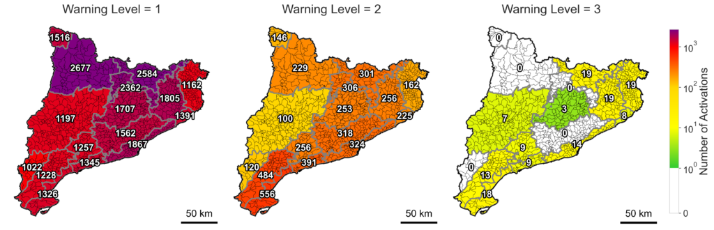
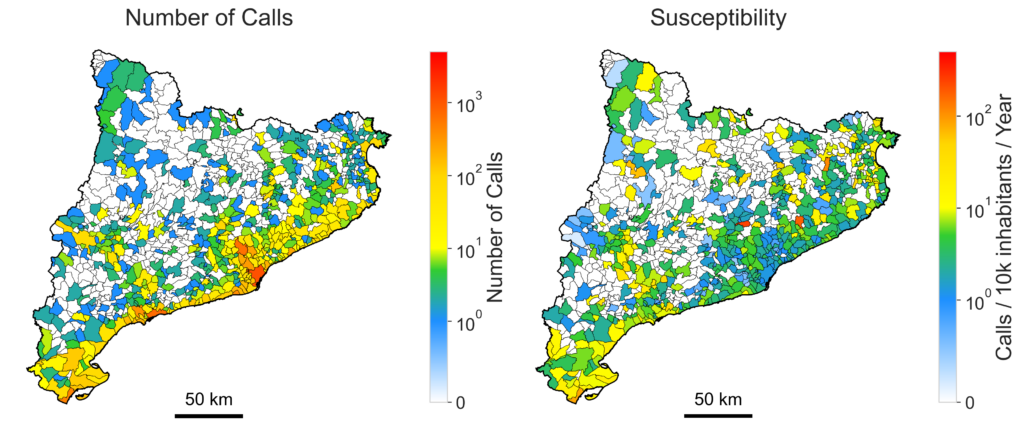
To evaluate this, the authors compared rainfall and wind-gust warnings issued by two meteorological agencies in Catalonia, Spain, against actual calls received by the 112 emergency service for flooding and wind damage over a six-year period (October 2018–February 2025).
The key findings reveal a significant gap in current operational models. While existing warnings successfully identify general regions of potential hazard, they suffer from a remarkably high number of false alarms. For example, Level 2 or higher rainfall warnings capture around 40% of all actual impacts, yet show a near 99% false alarm ratio at the local scale. This high frequency of false alarms can severely diminish public trust and reduce the ultimate usefulness of the warnings.
By highlighting both the potential and the limitations of current weather warnings, the research underscores the necessity of improving existing systems with localized, impact-driven approaches to better support emergency management.