
Flash Flood Hazard Forecast
Product Overview
The Flash Flood Hazard Forecast product provides rapid assessments of potential flash-flood conditions by deriving hazard levels from radar- and satellite-based rainfall accumulation analyses.
Technical Details
Main hazard addressed:
Flash Floods
Other related hazards:
Floods
Type of Product:
Nowcasting, Observation
Data Type:
Raster map
Licensing:
Proprietary

November 15, 2025 France Flash Flood level from OPERA
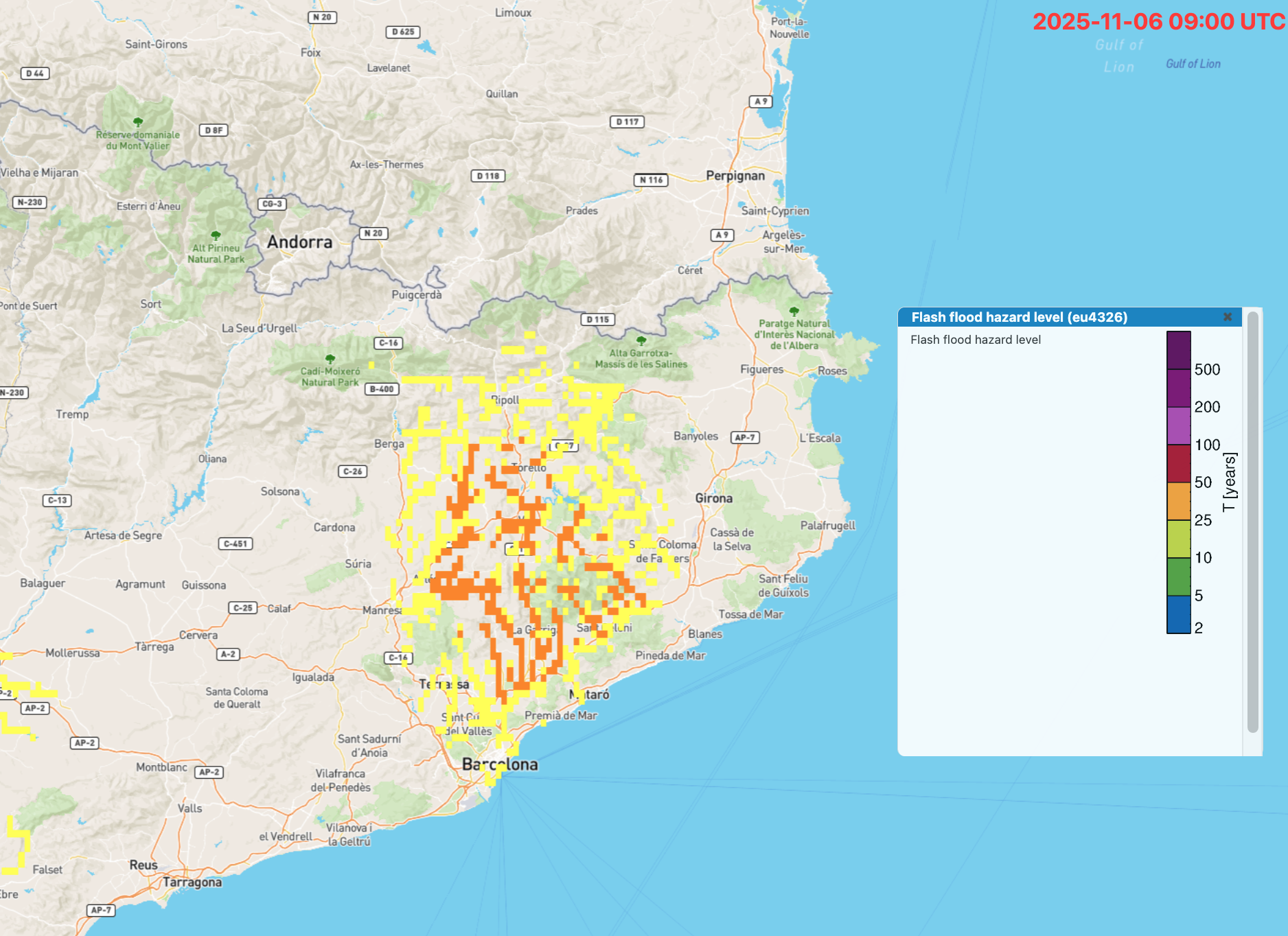
November 11, 2025 Flash flood level Barcelona area from COSPARIN
Available Implementations
Gauge-adjusted OPERA composites
Hazard levels are estimated from the gauge-adjusted European OPERA reflectivity composite, where thresholds are defined based on climatological reference values and the size of the upstream catchment associated with each drainage network point.
Horizon:
4 hours
Spatial Resolution:
1 arcmin
Time Resolution:
15 minutes
Coverage:
European
Update Every:
15 minutes
COSPARIN satellite observations
The thresholds are tailored to regional climatic characteristics and similarly depend on the upstream catchment size at each drainage point.
Horizon:
1 hour
Spatial Resolution:
1 arcmin
Time Resolution:
30 minutes
Coverage:
European, Mediterranean
Update Every:
30 minutes
Coverage: Array
Use Cases & Applications
GOBEYOND pilot sites
Associated Models
- Flash Flood Early Warning System (FF-EWS)View Model
Express interest


This project has received funding from the European Union’s Horizon Europe programme for research and innovation under grant agreement No. 101121135. Additional funding is provided by the Swiss Government.