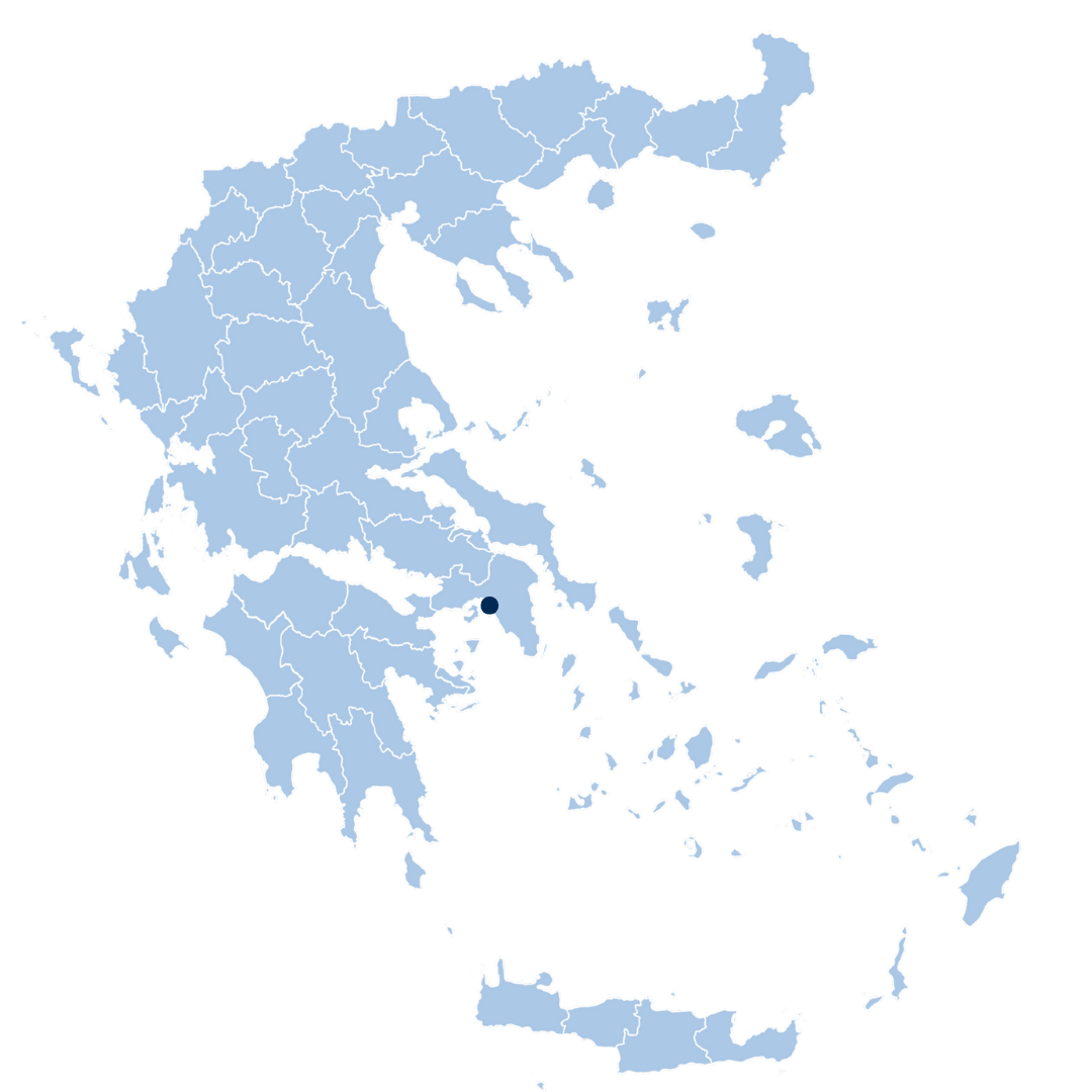
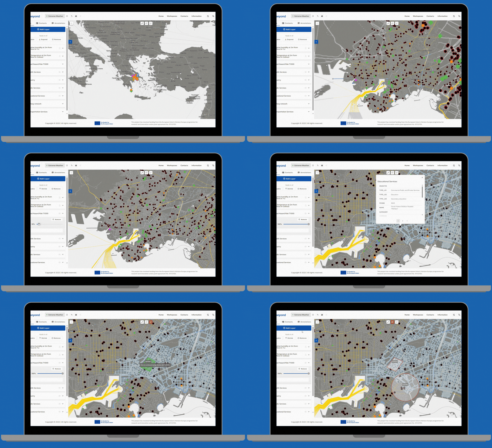
Closely linked to the Attica regional pilot, Piraeus, a dense urban center with significant critical infrastructure, serves as a key demonstration site. This pilot focuses on consolidating hazard data, vulnerability maps, and real-time sensor inputs into a single operational platform, enhancing the municipality’s ability to anticipate, prepare for, and respond to a wide range of hazards.
Hazards faced
Related Partners
Related partners
Related Partners
Solution
The solution involves a customized MR-IEWS platform tailored for Piraeus’ complex urban environment, supported by DRAXIS, integrating vulnerability and risk maps, real-time hazard and sensor data, emergency shelter GIS layers, 6-days weather forecasts, a multi-level coordination feature for information sharing and multi-hazard protocols into one operational interface.
These features aim to improve situational awareness and speed up decision-making in the municipality.
This project has received funding from the European Union’s Horizon Europe programme for research and innovation under grant agreement No. 101121135.