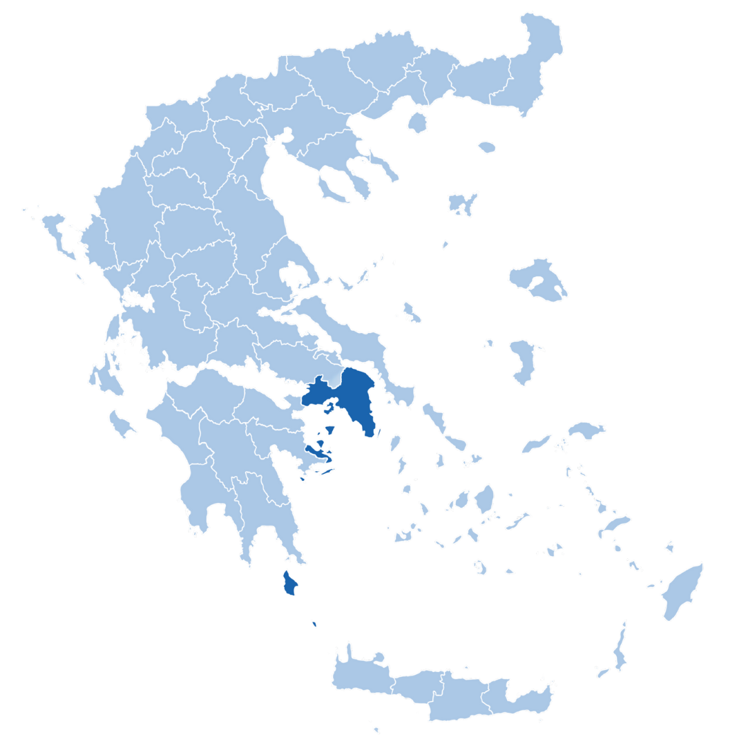
Attica region

Demonstration overview

The Attica pilot site covers Greece’s most densely populated region, home to approximately 3.8 million people. It includes eight regional units and 66 municipalities, among them the cities of Athens and Piraeus. This demonstration focuses on integrating regional hazard data, vulnerability maps, and real-time sensor data into a unified interface, helping decision-makers respond more effectively.

Hazards faced

Related Partners

Related partners

Related Partners

Solution

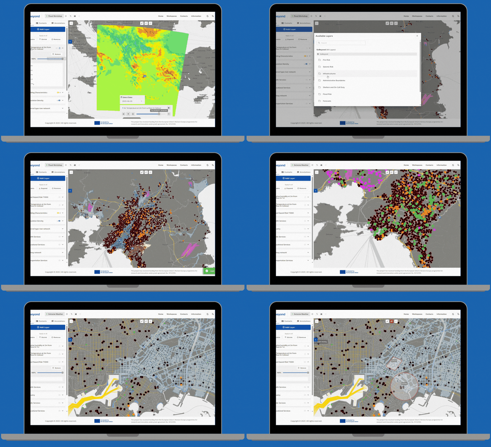
The solution involves a customized MR-IEWS platform tailored for Attica’s complex urban environment, supported by DRAXIS, integrating vulnerability and risk maps, real-time hazard and sensor data, emergency shelter GIS layers, 6-day weather forecasts, a multi-level coordination feature for information sharing and multi-hazard protocols into one operational interface.

While existing tools already support wildfire alerts and monitoring, there are critical needs being addressed through GOBEYOND:
  • Development of an early warning system for flash floods and earthquakes
  • Extension of wildfire prediction capabilities to exceed the current 24-hour window
  • Integration of earthquake shake-maps in near-real-time
These enhancements aim to improve situational awareness and speed up decision-making in the region’s Emergency Control Centre.

This project has received funding from the European Union’s Horizon Europe programme for research and innovation under grant agreement No. 101121135.

Stay Connected!

Subscribe to our Newsletter!

© 2024. All rights reserved.

TOP