Customize Consent Preferences

We use cookies to help you navigate efficiently and perform certain functions. You will find detailed information about all cookies under each consent category below.

The cookies that are categorized as "Necessary" are stored on your browser as they are essential for enabling the basic functionalities of the site. ... 

Always Active

Necessary cookies are required to enable the basic features of this site, such as providing secure log-in or adjusting your consent preferences. These cookies do not store any personally identifiable data.

No cookies to display.

Functional cookies help perform certain functionalities like sharing the content of the website on social media platforms, collecting feedback, and other third-party features.

No cookies to display.

Analytical cookies are used to understand how visitors interact with the website. These cookies help provide information on metrics such as the number of visitors, bounce rate, traffic source, etc.

No cookies to display.

Performance cookies are used to understand and analyze the key performance indexes of the website which helps in delivering a better user experience for the visitors.

No cookies to display.

Advertisement cookies are used to provide visitors with customized advertisements based on the pages you visited previously and to analyze the effectiveness of the ad campaigns.

No cookies to display.

Piraeus

Demonstration overview

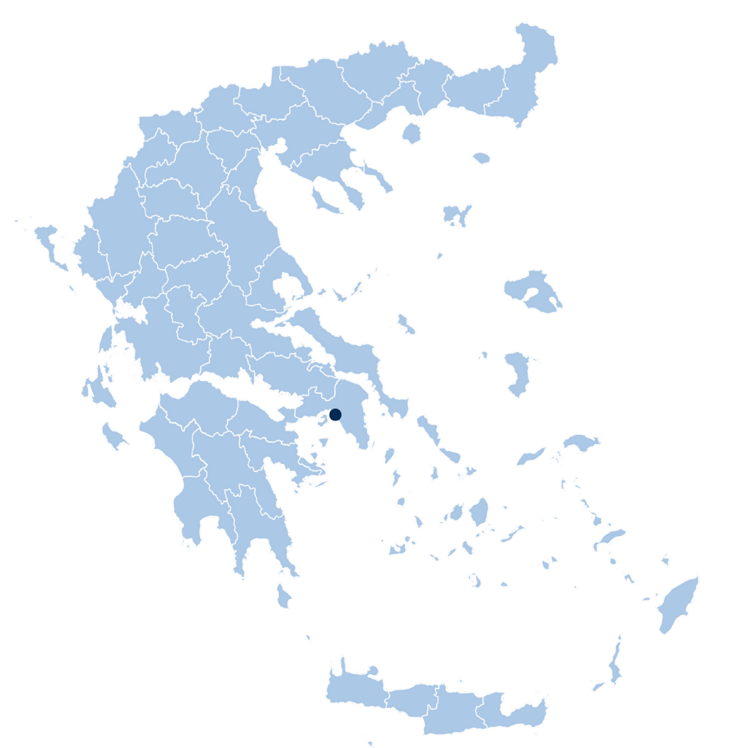
Closely linked to the Attica regional pilot, Piraeus, a dense urban center with significant critical infrastructure, serves as a key demonstration site. This pilot focuses on consolidating hazard data, vulnerability maps, and real-time sensor inputs into a single operational platform, enhancing the municipality’s ability to anticipate, prepare for, and respond to a wide range of hazards.

Hazards faced
Related Partners

Related partners

Related Partners

Solution

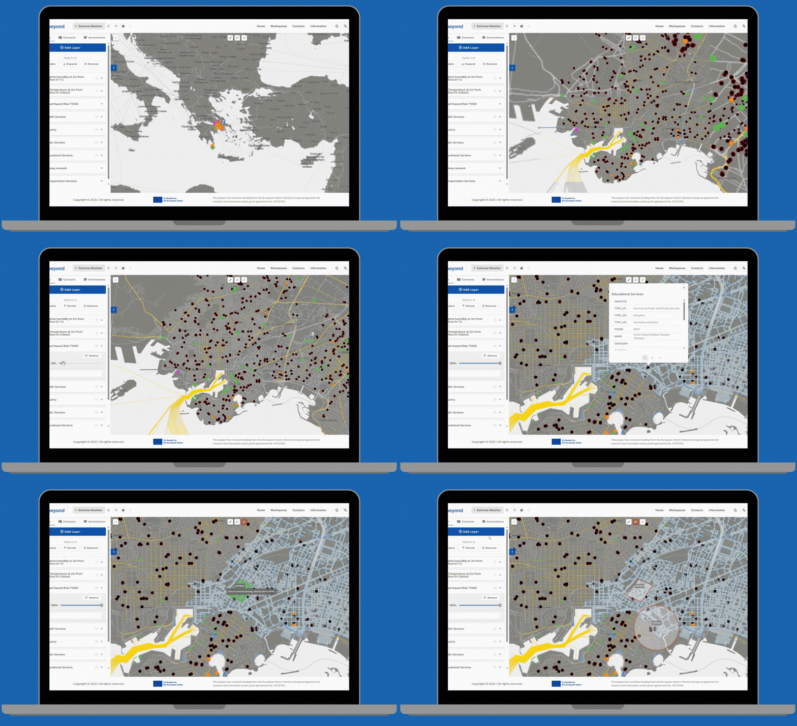
The solution involves a customized MR-IEWS platform tailored for Piraeus’ complex urban environment, supported by DRAXIS, integrating vulnerability and risk maps, real-time hazard and sensor data, emergency shelter GIS layers, 6-days weather forecasts, a multi-level coordination feature for information sharing and multi-hazard protocols into one operational interface.

These features aim to improve situational awareness and speed up decision-making in the municipality.

This project has received funding from the European Union’s Horizon Europe programme for research and innovation under grant agreement No. 101121135.

Stay Connected!

Subscribe to our Newsletter!

© 2024. All rights reserved.

TOP